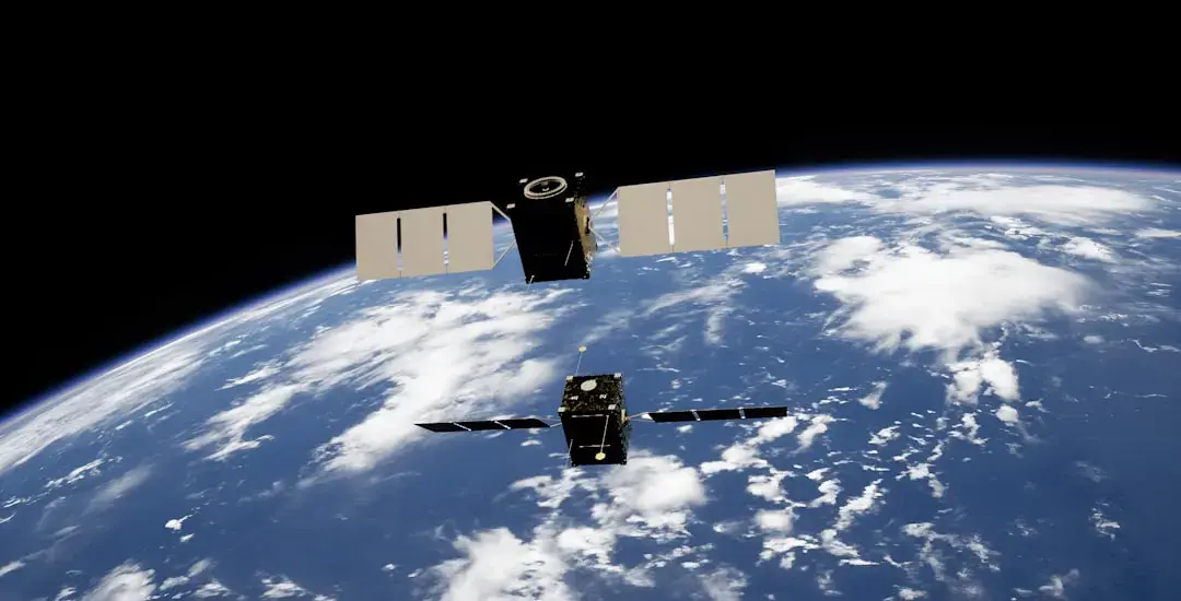
How Satellites Enhance Fire Detection and Response
As wildfires once again ravage parts of Europe this summer, satellite technology has emerged as a vital tool. These advanced systems can capture images and data that help identify fires early and assess the damage they cause across the continent.
The increasing frequency and intensity of wildfires in Europe have raised alarms among environmentalists and governments alike. With climate change contributing to hotter summers and drier conditions, the risk of wildfires is escalating. Satellites equipped with high-resolution imaging capabilities can monitor vast areas, providing real-time information that is crucial for firefighting efforts.
Satellites can detect thermal anomalies, indicating potential fire outbreaks. This early warning system allows authorities to respond more swiftly, potentially saving lives and property. For instance, the European Space Agency's Copernicus program utilizes Sentinel satellites to monitor land changes and environmental conditions. This data is invaluable for firefighters on the ground.
Can Satellite Technology Change Fire Management in Europe?
In addition to early detection, satellite imagery helps assess the impact of wildfires after they occur. By analyzing before-and-after images, scientists can evaluate the extent of damage to ecosystems and communities. This information is crucial for recovery efforts and for planning future prevention strategies.
The integration of satellite data into fire management strategies is proving beneficial. Many European countries are now adopting these technologies to enhance their firefighting capabilities. For example, Spain and Greece have implemented satellite monitoring systems to track fire risks and coordinate responses.
Experts believe that as satellite technology continues to evolve, its applications will expand further. The potential for artificial intelligence to analyze data from satellites can lead to even more precise predictions and efficient resource allocation during fire emergencies.
The consequences of utilizing satellite technology are profound. As Europe grapples with the growing threat of wildfires, these innovations could significantly improve safety and response times. With climate change expected to exacerbate wildfire conditions, investing in satellite capabilities may be crucial for future resilience.
Frequently Asked Questions
How do satellites detect wildfires? Satellites use thermal imaging to spot heat signatures indicative of fires. This allows for quick identification of new outbreaks, enabling faster responses.
What are the benefits of using satellite data for recovery? Satellite imagery provides detailed assessments of damage, helping authorities understand the impact on ecosystems and communities. This information is essential for effective recovery planning.
Is satellite technology cost-effective for fire management? While initial investments in satellite technology can be high, the long-term benefits—such as reduced damage and faster response times—often outweigh the costs, making it a worthwhile investment for fire management.